Opening
All year round, daily.
Présentation
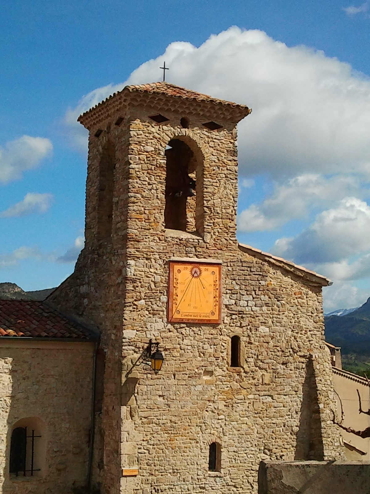
Situated on the northern edge of the Forêt de Saoû, the commune of Saint-Sauveur has one of the steepest gradients in the Diois foreland.
A thousand meters of altitude separate the gravel of the river Drôme, which flows at its foot, from the 3 Becs.
Fees
In free access
General informations
Languages spoken
- French
Types
- Historic site and monument
Types
- Historic patrimony
- Religious heritage
- Town / Village
- Church
Benefits
Services
- Pets welcome
Access
Environment
- Mountain view
- Village centre
- View over the vineyards


